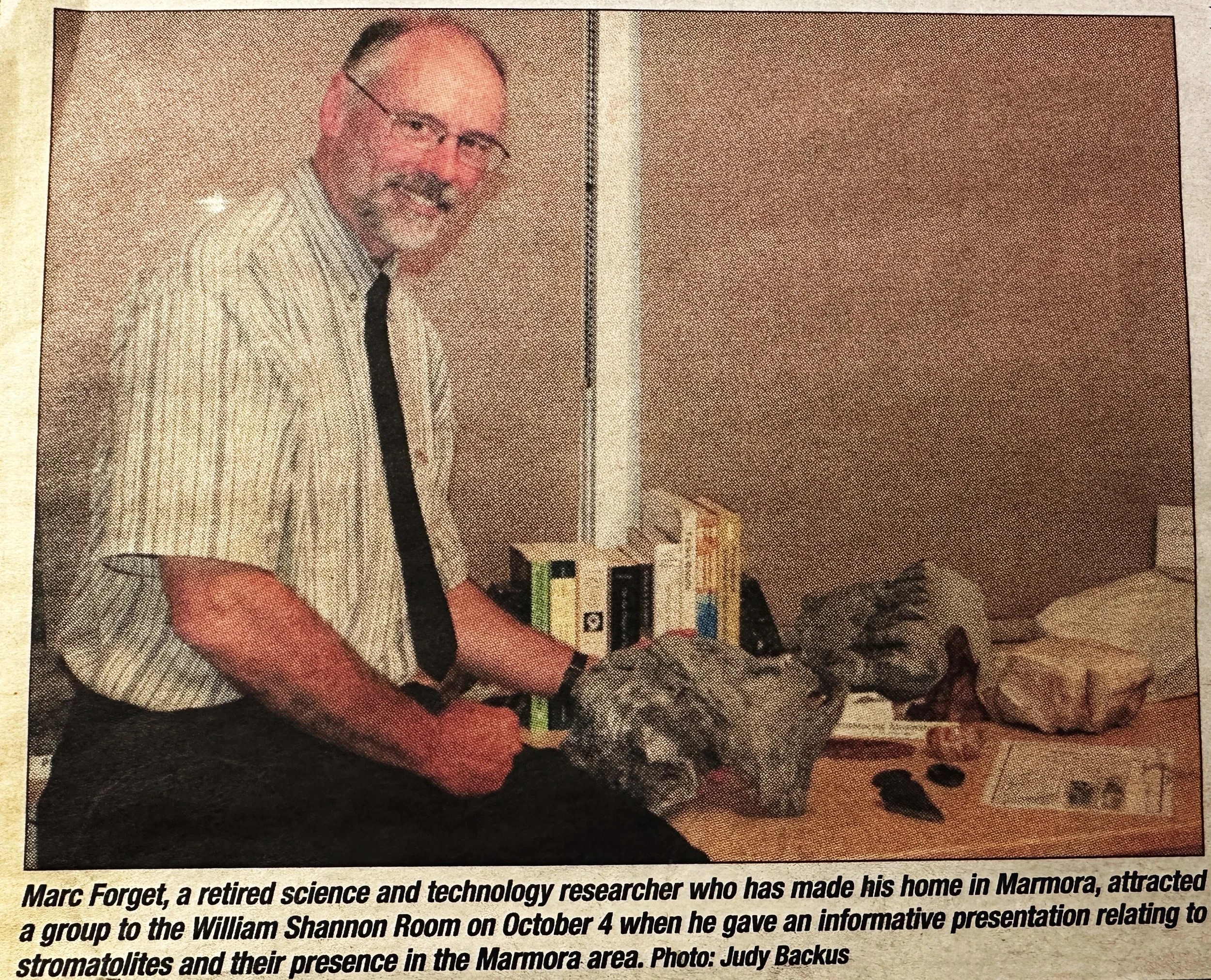

DID YOU KNOW?
(If you reach the bottom of the page, hit "Next". There's more!)
(If you reach the bottom of the page, hit "Next". There's more!)
Our mandate is to collect and display anything to do with the history of Marmora, Ontario. Enjoy our content and feel free to contribute your stories and memories.
Visit us upstairs at the Memorial Building on Forsyth street. Tuesday 1:00 PM - 4:00 PM & Thursday 2:00 PM - 4:00 PM
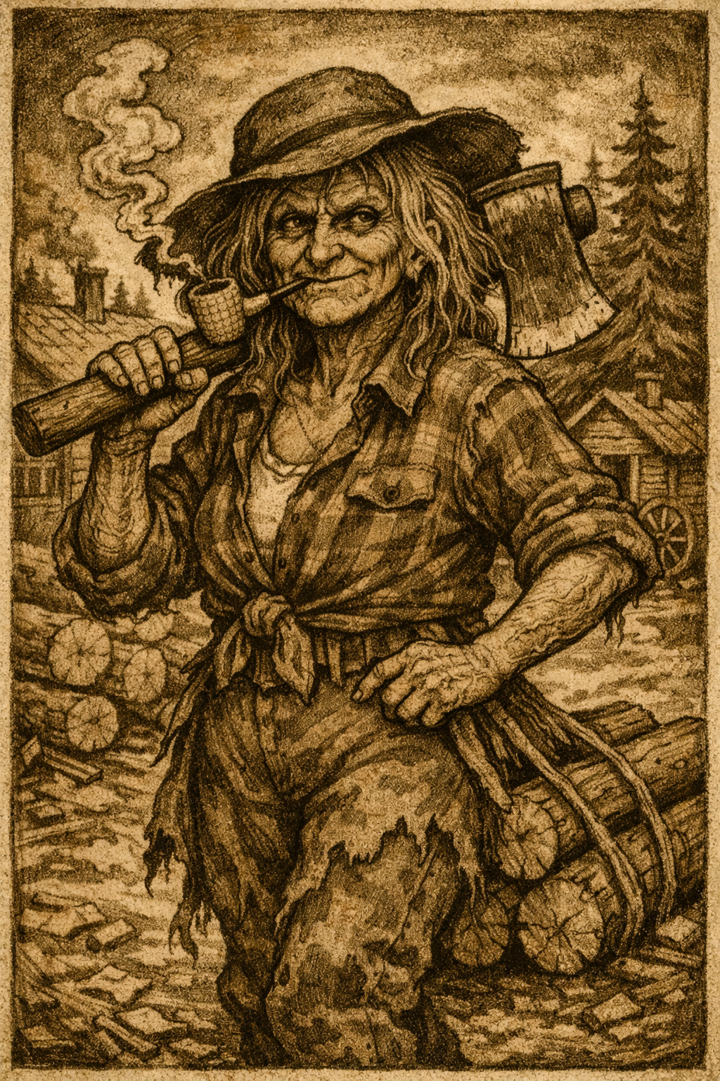
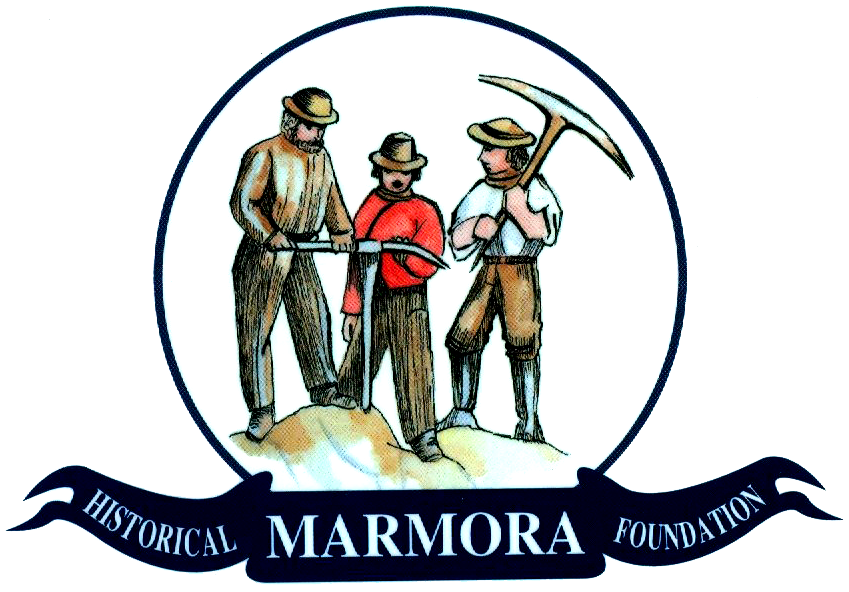
Who are the miners in our logo?
They are borrowed from a sketch by Susanna Moodie called "The First Mine in Ontario at Marmora"
We will continue to upload images, stories, and your contributions, so check back often!
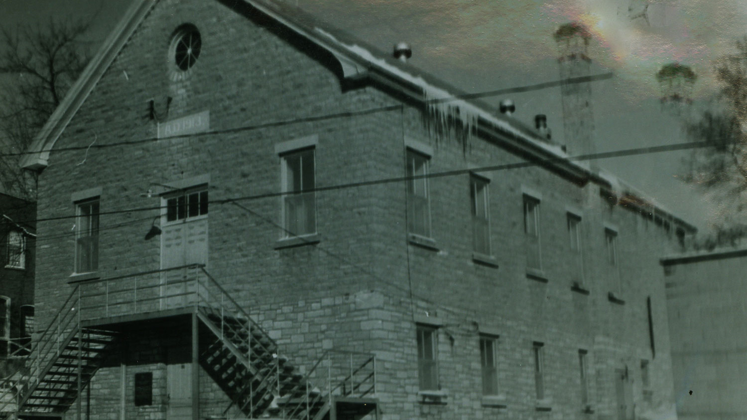
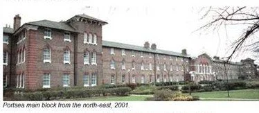
Town Hall -Click on the picture for more
Marmora Historical Foundation, Above the Library, Marmora, Ontario, K0K 2M0. Copyright © 2014 Marmora Historical Foundation. See Terms of Use Here.